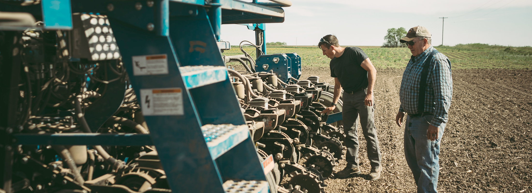
During peak 2020 claim periods, our Association processed an average of $4.5 million in crop insurance claims each week. Technology helped adjusters complete timely and accurate assessments, even in fields that not so long ago would have been difficult to assess. When you select a crop insurance agency, you are choosing an entire team of companies to support your operation. The adjusters we work with are adopting practices that keep up with the needs of an agricultural industry operating in an increasingly risky environment.
“The workload has been extreme for us as the agents and our adjusters, who work with others as well as Farm Credit Services of America,” said Brook Moore, insurance officer in Marshalltown, Iowa.
“Drones certainly enabled the adjusters to quickly pinpoint just how severe and how widespread damages were to insureds’ fields.”
– Brook Moore, insurance officer
Shon Grimm, the area claims manager for Rural Community Insurance Services (RCIS), has several adjusters licensed to use drones to determine damage. RCIS brought in an additional 20 licensed adjusters from outside the area to fly drones in places damaged by the derecho storm.
“It was a great help during the claims process from the derecho wind event in Iowa,” Grimm said. “It didn’t change our adjustment process but it did speed it up, letting us cover far more acres in a day than would have been possible on foot.”
A lot of acres weren’t readily accessible to people in the immediate aftermath of the storm, Grimm said. Drones also provided a better view in areas where tall, still-standing corn obscured downed stalks and allowed adjusters to assess the health of plants that hadn’t been completely flattened.
“We were able to fly the drones and take pictures to document the damage,” Grimm said. “We could even attach the images right to the claim.”
Sometimes, Grimm said, “the damage was even more than the farmer thought.”
Moore said “such a bird's-eye view instills confidence in our insureds that damage isn’t being missed, especially when many locations had pockets of damage to address mid-field vs easily seen complete fields. Some had the side bonus of seeing where building debris landed and the best route to retrieve it.”
Farmer perspective
For Kaleb Appelgate, who farms near Marshalltown, Iowa, drone images confirmed much of what everyone suspected, but without “having to wade through the damage. In widespread damage like this, it lets you triage the worst areas and decide where to focus first.
“Some of our fields were totaled. The adjuster could not walk out into them. The pictures justified the claims and sped the process along.”
In the aftermath of the storm, Moore said, insurance companies faced high claim volume. “To be able to work individual claims much faster and with less manpower, keeping the adjusters swiftly moving on to the next claim – it was greatly appreciated.”